|
| *****SWAAG_ID***** | 51 |
| Date Entered | 11/01/2011 |
| Updated on | 11/01/2011 |
| Recorded by | Stephen Eastmead (admin) |
| Category | Mining Related |
| Record Type | Mining |
| Site Access | Public Access Land |
| Record Date | 19/05/2008 |
| Location | Gunnerside Gill |
| Civil Parish | Melbecks |
| Brit. National Grid | NY 940 017 |
| Record Name | Bunton and Other Levels - Record 2 of 2 |
| Record Description | Copyright all images: 2010 Chris Twigg - Images taken 19/05/2008
See also Record ID number 50
|
| Additional Notes | Additional Notes - 20 images split over 2 records. Images 11 - 20 in this record. |
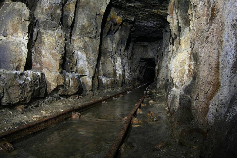
| Image 1 ID | 99 Click image to enlarge |
| Image 1 Description | Bunton Level | 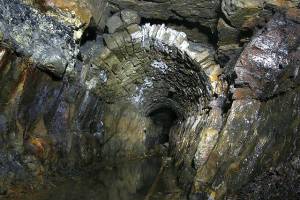 |
| Image 2 ID | 100 Click image to enlarge |
| Image 2 Description | Bunton Level | 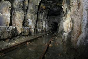 |
| Image 3 ID | 102 Click image to enlarge |
| Image 3 Description | Bunton Level | 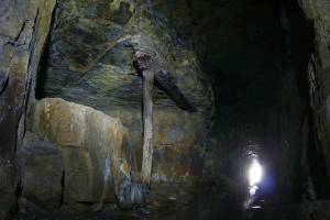 |
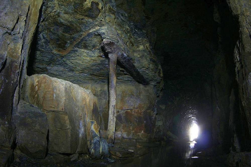
| Image 4 ID | 103 Click image to enlarge |
| Image 4 Description | Bunton Level |  |
| Image 5 ID | 104 Click image to enlarge |
| Image 5 Description | Bunton Level |  |
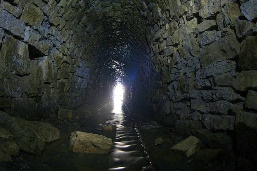
| Image 6 ID | 105 Click image to enlarge |
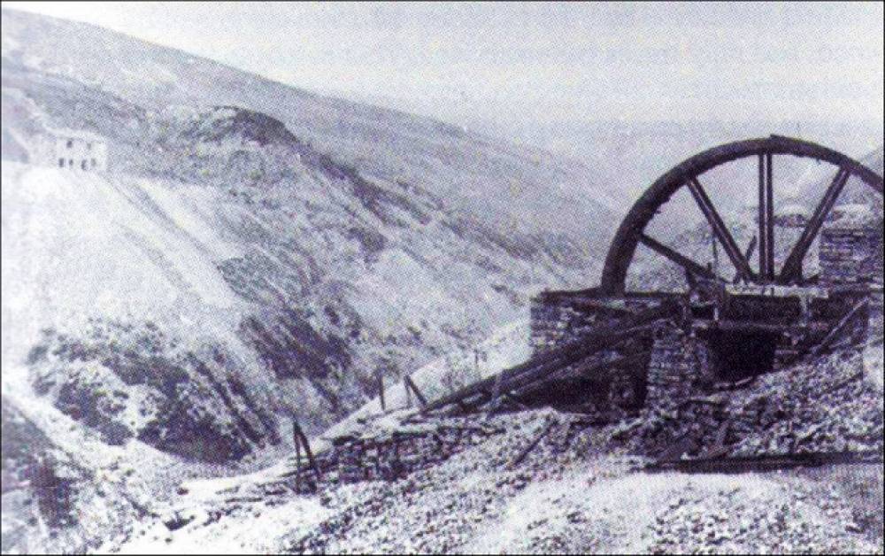
| Image 6 Description | Bunton Level Waterwheel |  |
| Image 7 ID | 106 Click image to enlarge |
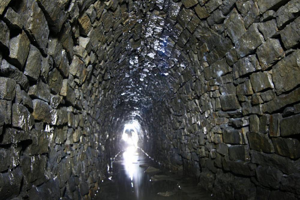
| Image 7 Description | Gorton Level close to Bunton | 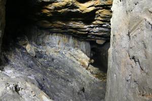 |
| Image 8 ID | 107 Click image to enlarge |
| Image 8 Description | Gorton Level close to Bunton | 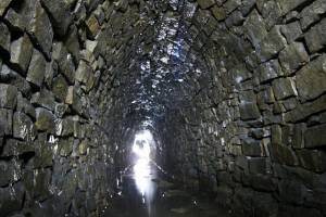 |
| Image 9 ID | 108 Click image to enlarge |
| Image 9 Description | Gorton Level close to Bunton | 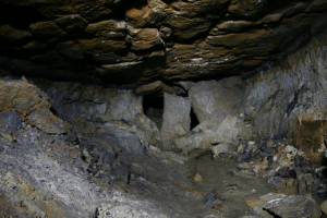 |
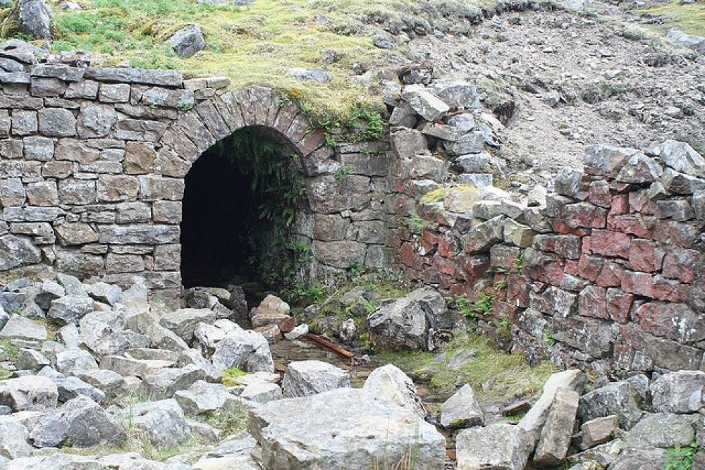
| Image 10 ID | 109 Click image to enlarge |
| Image 10 Description | Blakethwaite Level entrance | 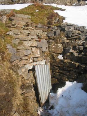 |